Conference Notifications:
"Be sure to check this section regularly for all Research Plus International Conference updates. We’ll keep you informed about deadlines, event details, and more important notifications."
Call for Papers Extended:
"The deadline for full paper submissions has been extended for the Research Plus International Conference in
Split. Submit your research by today to participate in one of the top conferences."
Certificate of Presentation:
"Present your research and receive a Certificate of Presentation to recognise your valuable contribution to the conference."
Abstract Submissions Open:
"Abstract submissions for the Split event are now open! Don’t miss the chance to present your research. Submit now."
Networking with Global Experts:
"Engage with researchers and professionals from around the world at the Split conference. Build collaborations and gain insights from leading experts."
Keynote Speaker Sessions:
"Don’t miss our Keynote Sessions in Split, featuring global leaders and innovators sharing their knowledge."
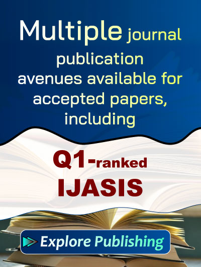
Best Paper & Best Paper Presentation Award:
"Submit your paper and stand a chance to win the Best Paper Presentation Award. The winner will be recognized at the conference in Split."
SDG-Inspired Conference Focus:
"Our conference will highlight research that addresses global sustainability, inclusive education, and solutions for environmental challenges."
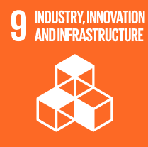
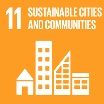
Conference Session Tracks
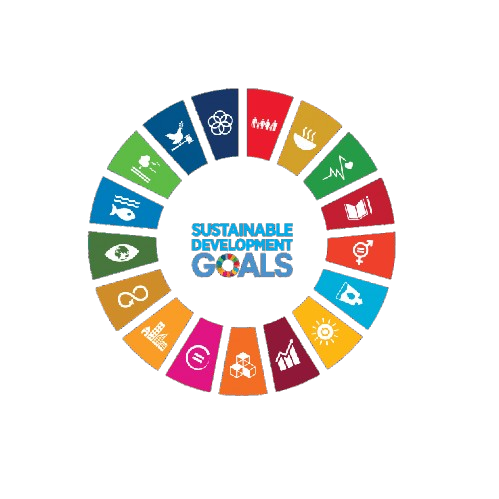
Aligned with
UN Sustainable Development Goals
This conference contributes to global sustainability by aligning its research discussions and academic sessions with key United Nations Sustainable Development Goals. It fosters knowledge exchange, innovation, and collaborative engagement.
Advancements in Geospatial Data Integration
This track focuses on innovative methodologies for integrating diverse geospatial data sources, including satellite imagery and GIS datasets. Participants will explore the implications of data fusion techniques for enhanced spatial analysis and decision-making.
Remote Sensing Applications in Urban Planning
This session will examine the role of remote sensing technologies in urban planning and development. Case studies will highlight how satellite data can inform infrastructure development and urban sustainability initiatives.
Predictive Modeling in Environmental Monitoring
This track will delve into the use of predictive modeling techniques to assess environmental changes through remote sensing data. Discussions will include methodologies for forecasting land use changes and monitoring ecological health.
Feature Extraction Techniques in Remote Sensing
This session will cover advanced feature extraction methods from remote sensing imagery, emphasizing their applications in various engineering fields. Participants will discuss algorithms and tools that enhance the accuracy of spatial data interpretation.
Spatial Modeling for Infrastructure Monitoring
This track will explore spatial modeling approaches for monitoring infrastructure using remote sensing technologies. Attendees will learn about the integration of sensor data and geospatial analysis to enhance infrastructure resilience.
GIS Integration for Enhanced Decision-Making
This session will focus on the integration of Geographic Information Systems (GIS) with remote sensing data to improve decision-making processes. Case studies will illustrate the effectiveness of GIS in various engineering applications.
Terrain Mapping and Analysis Techniques
This track will address the latest methodologies in terrain mapping using remote sensing technologies. Participants will discuss the implications of accurate terrain models for engineering projects and environmental assessments.
Data Analytics in Remote Sensing Engineering
This session will highlight the role of data analytics in extracting meaningful insights from remote sensing datasets. Discussions will cover techniques for processing large volumes of geospatial data to support engineering applications.
Sensor Technologies for Remote Sensing Applications
This track will explore emerging sensor technologies that enhance remote sensing capabilities. Participants will discuss innovations in sensor design and their applications in various fields of engineering.
System Optimization in Geospatial Analysis
This session will focus on optimizing systems for geospatial analysis and remote sensing applications. Attendees will explore strategies for improving computational efficiency and data processing workflows.
Environmental Monitoring through Remote Sensing
This track will examine the use of remote sensing for environmental monitoring and assessment. Participants will discuss methodologies for tracking changes in land cover, vegetation health, and water resources.